Wednesday 7 March 2018
GEOGRAPHIC INFORMATION SYSTEM
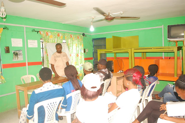
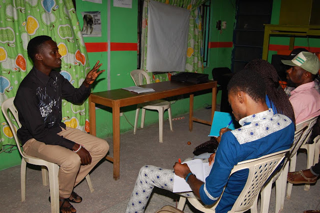
Gain professional expertise in the various areas of GIS,
Mapping, Surveying & Surveying equipment handling and usage and Remote
sensing. Our training covers all aspects of application of GIS
The Application of GIS in:
- Spatial Analysis
- Security
- Spatial Data conversion
- Geoprocessing
- Spatial Statistics
- Image Analysis/processing
- Site Suitability Selection
- Land cover mapping
- Environmental Impact Analysis
We train our students using the following softwares.
- · GIS Software (Quantum GIS (QGIS), ILWIS, ARCGIS)
- · Geoserver
- · Database ( Postgres DB, MySQL)
- · Spatial Database (PostGIS)
- · Google earth
- · Tera Incognita
- · TTKCAL coordinate converter.
- · Web GIS
- · Surfer
Duration of Training: 6 weeks (Twice a week, 4 hours per day)
Amount: N20,000.00K only (For Corps Members) and N35,000.00K only for Non-Corps Members
Subscribe to:
Posts (Atom)


